| Date: | 1887 |
|---|---|
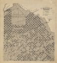
| Description: | This 1887 map of Ashland County, Wisconsin, shows the township and range system, sections, railroads, vacant Wisconsin Central Railroad land, state and "go... |

| Date: | 1896 |
|---|---|
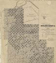
| Description: | This 1898 map shows the township and range system, sections, cities and villages, railroads, roads, vacant land and land sold by the Wisconsin Central Rail... |

| Date: | 1890 |
|---|---|
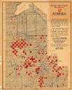
| Description: | This map shows the Wisconsin Central Railroad land grant lands owned and for sale by the Soo Line in Ashland County, Wisconsin, as well as in portions of B... |

| Date: | 1886 |
|---|---|
| Description: | This map of Ashland County, Wisconsin, which at the time included part of present-day Iron County, also covers portions of Vilas County, Wisconsin, then pa... |

| Date: | 1890 |
|---|---|
| Description: | This 1890s map shows the Wisconsin Central Railroad land grant lands owned and for sale by the Soo Line in Ashland County, Wisconsin, as well as in the eas... |

| Date: | 1850 |
|---|---|
| Description: | Map is pen and pencil on paper. The map shows roads, creeks, and the Chequamegon Bay. The map is undated and prepared sometime between the establishment of... |
If you didn't find the material you searched for, our Library Reference Staff can help.
Call our reference desk at 608-264-6535 or email us at: