
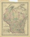
| Date: | 1876 |
|---|---|
| Description: | Made from U.S. Surveys and from minutes furnished by Jos. S. Buck and Dr. C. Chase. Scale 20 CHs to an inch. |

| Date: | |
|---|---|
| Description: | Plat map of the east central part of the city. |
| Date: | 1882 |
|---|---|
| Description: | This basic reference map of the state shows natural features, railroads, county seats, and political boundaries against the G.L.O. township and range grid.... |

| Date: | 1830 |
|---|---|
| Description: | A color map of the Michigan and Wisconsin territories with an inset showing the Ste. Marie River. |
| Date: | |
|---|---|
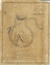
| Description: | Plan of the battle of the horse shoe bend on the East Pecatonica. |
| Date: | 1910 |
|---|---|
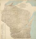
| Description: | Wisconsin Geological and Natural History Survey, by Lawrence Martin reproduced from a model of the state prepared by W.O. Hotchkiss and F.T. Thwaites and m... |

| Date: | 1906 |
|---|---|
| Description: | Polyconic projection. Map made from surveys without spirit level control. Henry Gannett, Chief Topographer. Topography by Van H. Manning and Nat. Tyler, Jr... |

| Date: | 1910 |
|---|---|
| Description: | Scale: 1:62500. Topography by Robert Muldrow. Surveyed in 1904. Edition of Aug. 1906, reprinted in 1910. |

| Date: | 1868 |
|---|---|
| Description: | Showing the counties, towns and railroads. Partly colored. Scale: 1 inch = 20 miles. |
| Date: | 1859 |
|---|---|
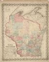
| Description: | This 1859 railroad map shows counties, cities, rivers and lakes in the entire state of Wisconsin. It includes an inset depicting the railroads in Milwaukee... |

| Date: | 1916 |
|---|---|
| Description: | Southeastern Wisconsin which lies east of Whitewater and south of Port Washington. |
| Date: | |
|---|---|
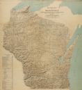
| Description: | Plan of township no. 3 north, range no. 5 west of the 4th principal meridian. |
| Date: | 1780 |
|---|---|
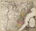
| Description: | Contenant: New Hampshire, Massachusetsbaye, Rhode Island, Connecticut, La Nouvelle York, Nouvelle Jersey, La Pensilvanie, Les Comtes de Newcastle, Kent et ... |

| Date: | 1913 |
|---|---|
| Description: | Shows lands in green owned and for sale by Homeseekers Land Company, H.J. McKusick, Secretary. Map, part colored. No scale. Photographs on reverse of origi... |

| Date: | 1798 |
|---|---|
| Description: | Uncolored. No scale. One of the earliest maps to show the proposed division of the northwest territory into states. |

| Date: | 1908 |
|---|---|
| Description: | Colored map in perspective indicates railroad routes. Lake Winnebago and Oshkosh in center, area extends to Shawano (top right corner), Green Bay (bottom r... |

| Date: | 1913 |
|---|---|
| Description: | Wisconsin map showing fifteen hundred miles of national highways proposed by the National Highways Association. Scale: 1:2,500,000. These highways will dir... |

| Date: | 1862 |
|---|---|
| Description: | Lithography of C. Van Benthuysen. |

| Date: | 1755 |
|---|---|
| Description: | From "A map of the British and French dominions in North American with the roads, distances, limits, and extent of the settlements". |

| Date: | 1733 |
|---|---|
| Description: | From "A map of the British Empire in America with the French and Spanish settlements adjacent thereto". This is the Wisconsin and Minnesota section. |
If you didn't find the material you searched for, our Library Reference Staff can help.
Call our reference desk at 608-264-6535 or email us at: