 Filter: Categories of Wisconsin Historical Images
Filter: Subject of Transportation
Filter: Subject of transportation
Filter: Creator Name of Derr Map Studio
Filter: Categories of Wisconsin Historical Images
Filter: Subject of Transportation
Filter: Subject of transportation
Filter: Creator Name of Derr Map Studio
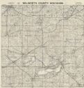
| Date: | 1956 |
|---|---|
| Description: | Map shows townships and sections, landownership and acreages, roads, schools, churches, and cemeteries. |
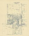
| Date: | 1960 |
|---|---|
| Description: | This blue line print map shows lot and block numbers and dimensions, some landownership, roads, and railroads. The map includes manuscript annotations of a... |
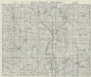
| Date: | 1955 |
|---|---|
| Description: | This cadastral map shows highways, land owners, railroads, and rivers. |
If you didn't find the material you searched for, our Library Reference Staff can help.
Call our reference desk at 608-264-6535 or email us at: