| Date: | 1870 |
|---|---|
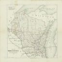
| Description: | Map of Wisconsin showing counties and their county seats, towns and cities with over 3,000 inhabitants, the Detroit and Milwaukee Steam Ship Line, and both... |

| Date: | 1872 |
|---|---|
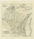
| Description: | A map of Wisconsin which shows the counties, county seats, those cities with over 3,000 inhabitants. The map also displays the rivers, lakes, completed and... |

| Date: | 1874 |
|---|---|
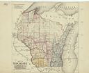
| Description: | A hand-colored, geological map of Wisconsin show the progress of the state geological survey in 1873 and 1874. Other elements displayed in the map include... |

| Date: | 1920 |
|---|---|
| Description: | This map shows the entire state as well as portions of Iowa, Illinois, Minnesota, and Michigan. Counties outlined in yellow, cities, rivers, lakes, and rai... |

| Date: | 1936 |
|---|---|
| Description: | This colored road map shows automobile roads in Wisconsin as well as portions of nearby states. U.S. numbered highways are shown in red, and information ab... |
If you didn't find the material you searched for, our Library Reference Staff can help.
Call our reference desk at 608-264-6535 or email us at: