
| Date: | 1939 |
|---|---|
| Description: | This map shows the towns to Gingles, Sanborn, and Guney as well as Chequamegon Bay, Kakagon River, White River, Marengo River, Bad River, Potato River, Vau... |
| Date: | 1939 |
|---|---|
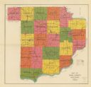
| Description: | This map of Sauk County, Wisconsin, shows the township and range grid, towns, sections, cities and villages, roads, railroads, lakes and rivers, schools, a... |

| Date: | 1933 |
|---|---|
| Description: | This map shows the township and range system, sections, cities and villages, schools, roads, railroads, and lakes and streams in Shawano County, which at t... |
| Date: | 1930 |
|---|---|
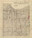
| Description: | Shows county system of roads which are surfaced, well graded, common, or unimproved, town roads, state trunk highways, town and village boundaries, schools... |
| Date: | 1930 |
|---|---|
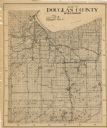
| Description: | Shows county system of roads which are surfaced, well graded, common, or unimproved, town roads, state trunk highways, town and village boundaries, schools... |

| Date: | 1932 |
|---|---|
| Description: | This map of Granville shows streets, businesses, residential areas, schools, golf courses, and industrial areas. The map shows Granville in March of 1932. ... |

| Date: | 1938 |
|---|---|
| Description: | This map shows buildings, lots, parks, schools, pumping stations, sites reserved for churches, and water towers. |

| Date: | 06 1931 |
|---|---|
| Description: | This map is a photocopy of a map that has been hand-colored and shows streets, the Wisconsin River, Mill Pond, and points of interest that include a school... |

| Date: | 1938 |
|---|---|
| Description: | This map shows school districts, schools (rural, transport, and state graded), roads, and city and village school systems. The lower right corner includes ... |
| Date: | 1935 |
|---|---|
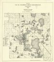
| Description: | This map shows railroads, telephone lines, roads, trails, schools, sub-agency, lookout stations, churches, community centers, and school site and farm. Bil... |
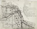
| Date: | 1930 |
|---|---|
| Description: | This map shows schools, school districts, town sections, highways, railroads, and hydrography of the area around Hurley. The right margin includes and expl... |

| Date: | 1936 |
|---|---|
| Description: | This map shows campsites, trails, auto roads, surrounding townships, and points of interest, by including pictorial illustrations. Includes an inserted map... |
If you didn't find the material you searched for, our Library Reference Staff can help.
Call our reference desk at 608-264-6535 or email us at: