Filter: Categories of Wisconsin Historical Images
Filter: Subject of Rivers
Filter: County of Sawyer
Filter: Type of Map or Atlas
Filter: Categories of Wisconsin Historical Images
Filter: Subject of Rivers
Filter: County of Sawyer
Filter: Type of Map or Atlas

| Date: | 1919 |
|---|---|
| Description: | This is a collection of three hand-colored plat maps. One map is a plat plan and includes annotations and an index that shows public land, business, indust... |

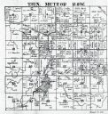
| Date: | 1898 |
|---|---|
| Description: | This 1898 map of Sawyer County, Wisconsin, shows the township and range system, sections, roads, farm houses, camps, school houses, dams, bridges, Indian r... |

| Date: | 1900 |
|---|---|
| Description: | This map of Sawyer County, Wisconsin, shows the numbered "sub-school-districts of the town of Hayward" school houses, and the Indian reservation. The towns... |

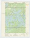
| Date: | 1970 |
|---|---|
| Description: | This map shows lot and block numbers, city limits, cemeteries, schools, outdoor theater, Lumberjack Bowl, and Historyland among other attractions. |

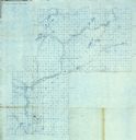
| Date: | 1911 |
|---|---|
| Description: | This map shows lakes, rivers, swamps, state swamp land, trails and railroads. Includes a township diagram. |
If you didn't find the material you searched for, our Library Reference Staff can help.
Call our reference desk at 608-264-6535 or email us at: