| Date: | 1857 |
|---|---|
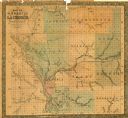
| Description: | Map of La Crosse County, Wisconsin showing village plat, farm houses, schools, roads, railroads, township names (New Amsterdam, Dacota, Minnesota, Driesbac... |

| Date: | 1875 |
|---|---|
| Description: | Elevated view over De Pere. In the foreground is the De Pere News Office and Post Office building. Behind it people are walking on the bridge over the Fox ... |

| Date: | 1878 |
|---|---|
| Description: | This bird’s-eye-view map of Barton is indexed for parochial and public schools, churches, a convent, the railroad depot, and the post office. |

| Date: | 1886 |
|---|---|
| Description: | This map has relief shown by hachures and includes a list of plats in order of date of record, laws which vacate plats, plats not shown as upon the county ... |

| Date: | 1890 |
|---|---|
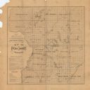
| Description: | This map features township outlines, railroads, roads, post offices, and landownership for La Crosse County. Various communities appear in yellow, green, a... |

| Date: | 1874 |
|---|---|
| Description: | This map shows townships and sections, post offices, roads, and railroads. The left margin reads: "For sale at Cushing Land Agency, St. Croix Falls, Wis. 4... |

| Date: | 1891 |
|---|---|
| Description: | This map shows railroads, street railways, roads, wards, block numbers, parks, and one mile concentric circles indicating distance from Post Office. Also i... |

| Date: | 1894 |
|---|---|
| Description: | This map shows railroads, street railways, roads, wards, block numbers, parks, Lake Michigan, and one mile concentric circles indicating distance from the ... |

| Date: | 1891 |
|---|---|
| Description: | H.H. Bennett advertising envelope addressed to William H. Metcalf of Milwaukee. The envelope bears an engraved image of people standing on top of Stand Roc... |

| Date: | 1860 |
|---|---|
| Description: | This map shows roads, trails, and railroads throughout Nebraska, Arkansas, Missouri, Kansas, Illinois, and Utah, including the Salt Lake City & California ... |

| Date: | 1857 |
|---|---|
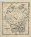
| Description: | This map shows the railroad routes of the Milwaukee & Horicon Railroad, common roads, counties, canals, townships, cities, county towns, villages, post off... |

| Date: | 1871 |
|---|---|
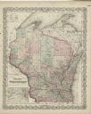
| Description: | This maps shows the entire state with an inset map in the lower left corner of Milwaukee. Railroads, roads, canals, the state capital, towns, cities, towns... |
If you didn't find the material you searched for, our Library Reference Staff can help.
Call our reference desk at 608-264-6535 or email us at: