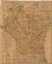
| Date: | 1918 |
|---|---|
| Description: | "The playground of the Middle West." Showing the Numbered and Marked State Trunk Highway System and the Principal Secondary Highways; also locates Points o... |

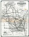
| Date: | 1914 |
|---|---|
| Description: | This map shows main traveled routes. Portions of Lake Michigan, Lake Superior, Illinois, Iowa, Michigan and Minnesota are labeled. Also includes a legend s... |

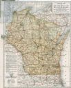
| Date: | 1916 |
|---|---|
| Description: | This map shows highways, roads, routes, communities, rivers, and lakes. Wide red lines show principle highways. Narrow red lines show secondary roadways or... |

| Date: | 1919 |
|---|---|
| Description: | Narrow red lines show principal secondary highways. Green circles shows points of historical interest. Green triangles show Indian mounds and Indian villag... |
If you didn't find the material you searched for, our Library Reference Staff can help.
Call our reference desk at 608-264-6535 or email us at: