| Date: | 1910 |
|---|---|
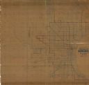
| Description: | This ink on paper blue line print base map consists of eight separate pieces and shows city limits, The Milwaukee Electric Railroad & Light Company lines, ... |

| Date: | 1910 |
|---|---|
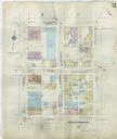
| Description: | A Sanborn insurance map of a section of Milwaukee, including East Clybourn and East Buffalo Streets. "Italian Section 3/4/30" is written on the page in blu... |

| Date: | 1910 |
|---|---|
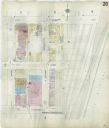
| Description: | A Sanborn insurance map of Milwaukee, including the shore of Lake Michigan. |

| Date: | 1910 |
|---|---|
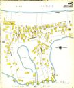
| Description: | Sanborn insurance map of Milwaukee showing a portion of Jones Island with Lake Michigan at the top and the Milwaukee River at the bottom. |

| Date: | 1910 |
|---|---|
| Description: | Quarter-length studio portrait of Thekla Wollaeger (Mrs. George Frederick) Brumder. She is wearing a dress with beaded trim and a pearl necklace. |

| Date: | 1910 |
|---|---|
| Description: | Garden phlox bloom in the yard of Villa Henrietta, the summer home of George and Henriette Brumder. A sidewalk leads up a slope to the Pine Lake-facing (ea... |

| Date: | 1910 |
|---|---|
| Description: | Ida Brumder Merker is standing and admiring spring flowers arranged in a basket with a large ribbon bow. She is wearing a fancy dress and is holding a flow... |
If you didn't find the material you searched for, our Library Reference Staff can help.
Call our reference desk at 608-264-6535 or email us at: