| Date: | 1905 |
|---|---|
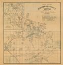
| Description: | This early 20th century map identifies the locations of the Divide Resort and Spider Lake Resort in Vilas County, Wisconsin. Also shown are trails, stage l... |

| Date: | 1905 |
|---|---|
| Description: | This early 20th century map of Door County, Wisconsin, shows the township and range grid, towns, sections, cities and villages, landownership and acreages,... |

| Date: | 1905 |
|---|---|
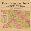
| Description: | Shows railroads, roads, post offices, creeks, lakes, and cities. Includes chart of deposits and total resources from the years 1890 to 1905. "First Natio... |

| Date: | 1905 |
|---|---|
| Description: | This map shows roads, railroads, and location of Keyes Springs, now part of Monona. The map reads: "L.S. Smith, c.e., del. May, 1905" and "For further info... |

| Date: | 1905 |
|---|---|
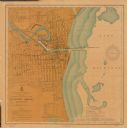
| Description: | This map shows a plat of the city, local streets, railroads, public buildings, local businesses, and parts of the Manitowoc River and Lake Michigan. Relief... |

| Date: | 1905 |
|---|---|
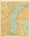
| Description: | This map shows railroads, towns, lights, lights to be established, fog signals, light-vessels, lighted buoys, light-house depots, and light-house reservati... |

| Date: | 1905 |
|---|---|
| Description: | This map shows railroads, towns, lights, lights to be established, fog signals, light-vessels, lighted buoys, light-house depots, and light-house reservati... |

| Date: | 1905 |
|---|---|
| Description: | This map shows railroads, towns, lights, lights to be established, fog signals, light-vessels, lighted buoys, light-house depots, and light-house reservati... |

| Date: | 1905 |
|---|---|
| Description: | This blueprint map shows rivers, land parcels, and streets. It also highlights selected public and industrial buildings. |

| Date: | 1905 |
|---|---|
| Description: | This blueprint map shows land parcels and roads. The map includes manuscript annotations in what appears to be red pencil. |

| Date: | 1905 |
|---|---|
| Description: | This photocopied map shows landownership, roads, railroads, rural mail routes, churches, school houses, cemeteries, and townships. The map includes adverti... |

| Date: | 1905 |
|---|---|
| Description: | This blueprint map includes manuscript annotations in red showing land of Home Realty Co., Hon. Geo. B. Burrows, and A.O. Fox Industrial. |
If you didn't find the material you searched for, our Library Reference Staff can help.
Call our reference desk at 608-264-6535 or email us at: