Filter: Categories of Wisconsin Historical Images
Filter: COLLECTION_NAME of Sanborn-Perris Maps
Filter: Year of 1900-1999
Filter: Subject of land
Filter: Categories of Wisconsin Historical Images
Filter: COLLECTION_NAME of Sanborn-Perris Maps
Filter: Year of 1900-1999
Filter: Subject of land
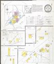
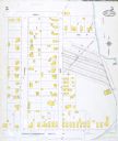
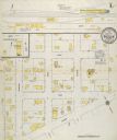
| Date: | 10 1914 |
|---|---|
| Description: | Page 2 of a Sanborn-Perris map of Pewaukee. |
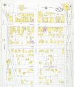
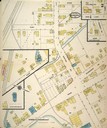
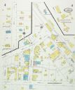
| Date: | 07 1924 |
|---|---|
| Description: | Page 3 of Sanborn-Perris map of Pewaukee. |

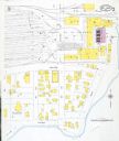
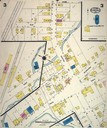
| Date: | 05 1926 |
|---|---|
| Description: | Section 1 of a Sanborn map of Osceola. |

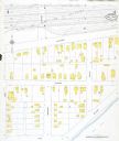
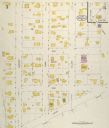
| Date: | 05 1926 |
|---|---|
| Description: | Section 2 of a Sanborn map of Osceola. |
| Date: | 05 1926 |
|---|---|
| Description: | Section 3 of a Sanborn map of Osceola. |

| Date: | 10 1911 |
|---|---|
| Description: | Section 1 of a Sanborn map of Osceola. |
| Date: | 10 1911 |
|---|---|
| Description: | Section 2 of a Sanborn Map of Osceola. |
| Date: | 08 1927 |
|---|---|
| Description: | Sanborn map of Ellsworth, Wisconsin. |

| Date: | 1908 |
|---|---|
| Description: | A detail of a Sanborn map showing the North Blair Street area. |

| Date: | 11 1905 |
|---|---|
| Description: | Sanborn map of Hurley including mining features. |

| Date: | 1901 |
|---|---|
| Description: | A Sanborn map of Tomahawk featuring the Bay Mill Company's lumber yard. |

| Date: | 1910 |
|---|---|
| Description: | Sanborn insurance map of Milwaukee showing a portion of Jones Island with Lake Michigan at the top and the Milwaukee River at the bottom. |
If you didn't find the material you searched for, our Library Reference Staff can help.
Call our reference desk at 608-264-6535 or email us at: