| Date: | 1871 |
|---|---|
| Description: | Like many southeastern Wisconsin villages, Edgerton was settled by Yankee immigrants in the 1830s. Though this view gives no indication of it, by 1871 toba... |

| Date: | 1902 |
|---|---|
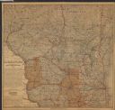
| Description: | This map shows the railroads of southern Wisconsin with the routes of the Chicago, Milwaukee, and St. Paul Railway traced in red. The township grid, counti... |

| Date: | 12 1912 |
|---|---|
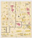
| Description: | Sanborn Map of Sun Prairie. The map highlights the public and parochial schools, the exhange, and church buildings, etc. |

| Date: | 1719 |
|---|---|
| Description: | Map of Maryland and surrounding states. It shows the boundaries, counties, cities, towns, rivers, and bays. Mountains, forests, and swamps appear pictoria... |

| Date: | 1755 |
|---|---|
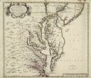
| Description: | Map of Virginia and parts of Maryland, North Carolina, and New Jersey. It shows borders, boundary lines, some Native American land, counties, cities, towns... |

| Date: | 10 1894 |
|---|---|
| Description: | A Sanborn Fire Insurance Map of Waunakee. |
If you didn't find the material you searched for, our Library Reference Staff can help.
Call our reference desk at 608-264-6535 or email us at: